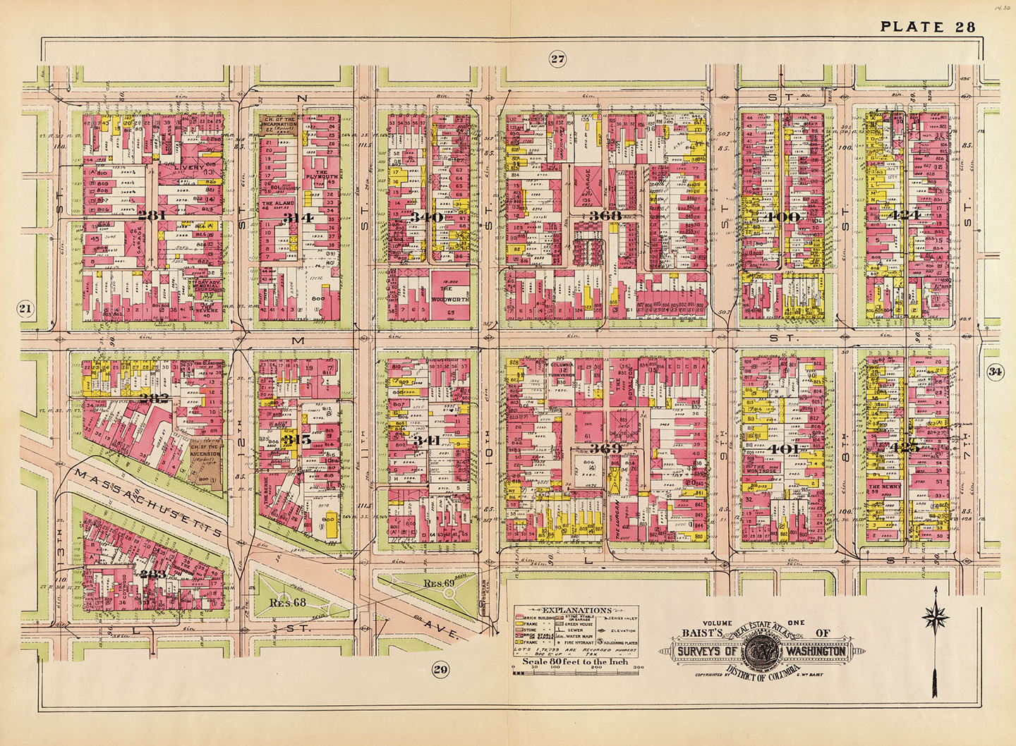
Washington DC 1920s Maps
Reason # 27 why I heart the Internet:
The maps. Oh, the maps…

Baltimore and Ohio train map of Washington DC, dated 1936

Map of Washington DC from 1892 from the Engineer Corps

Washington DC streetcar map from 1891

A Bird’s Eye View of Washington DC from 1929

The Mall and Vicinity of Washington DC, dated 1917
Especially the one featured from Washington DC in the 1920s. It’s from a survey done by “G. Wm. Baist, Wm. E., & H.V. Baist, surveyors” and is amazing.
